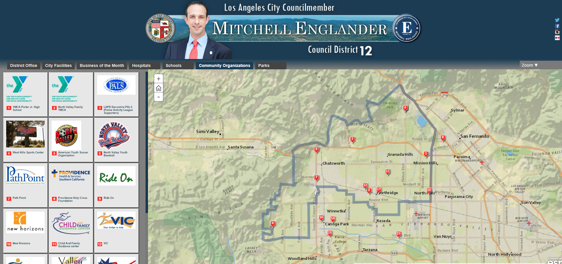
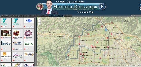

This week, we revealed our new interactive district map on the Council District 12 website. Council District 12 is now the first and only website in the City of Los Angeles to host and interactive Arc GIS map.
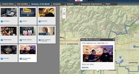
With this map, you can view the location of City facilities including police and fire stations, libraries, and schools, as well as, community organizations and the location of CD12 “Businesses of the Month.”
Arc GIS is a geographic information system (GIS) for working with maps and geographic information. It is used for creating and using maps; compiling geographic data; analyzing mapped information; sharing and discovering geographic information; and managing geographic information in a database.
The system provides an infrastructure for making maps and geographic information available throughout an organization, across a community, and openly on the Web.
-Mitchell Englander, Councilmember Twelfth District

